
Topographical Survey — Tunbridge Wells, TN2
| Project | Details |
| Location | Tunbridge Wells, Kent |
| Property Type | Detached House |
| Services | Topographical Survey |
| Equipment | Trimble X7 |
| Deliverables | DWG & PDF |
| Site Visit | 1 Day |
| Turnaround | 1 Working Days |
Client:
Garden Designer
Property:
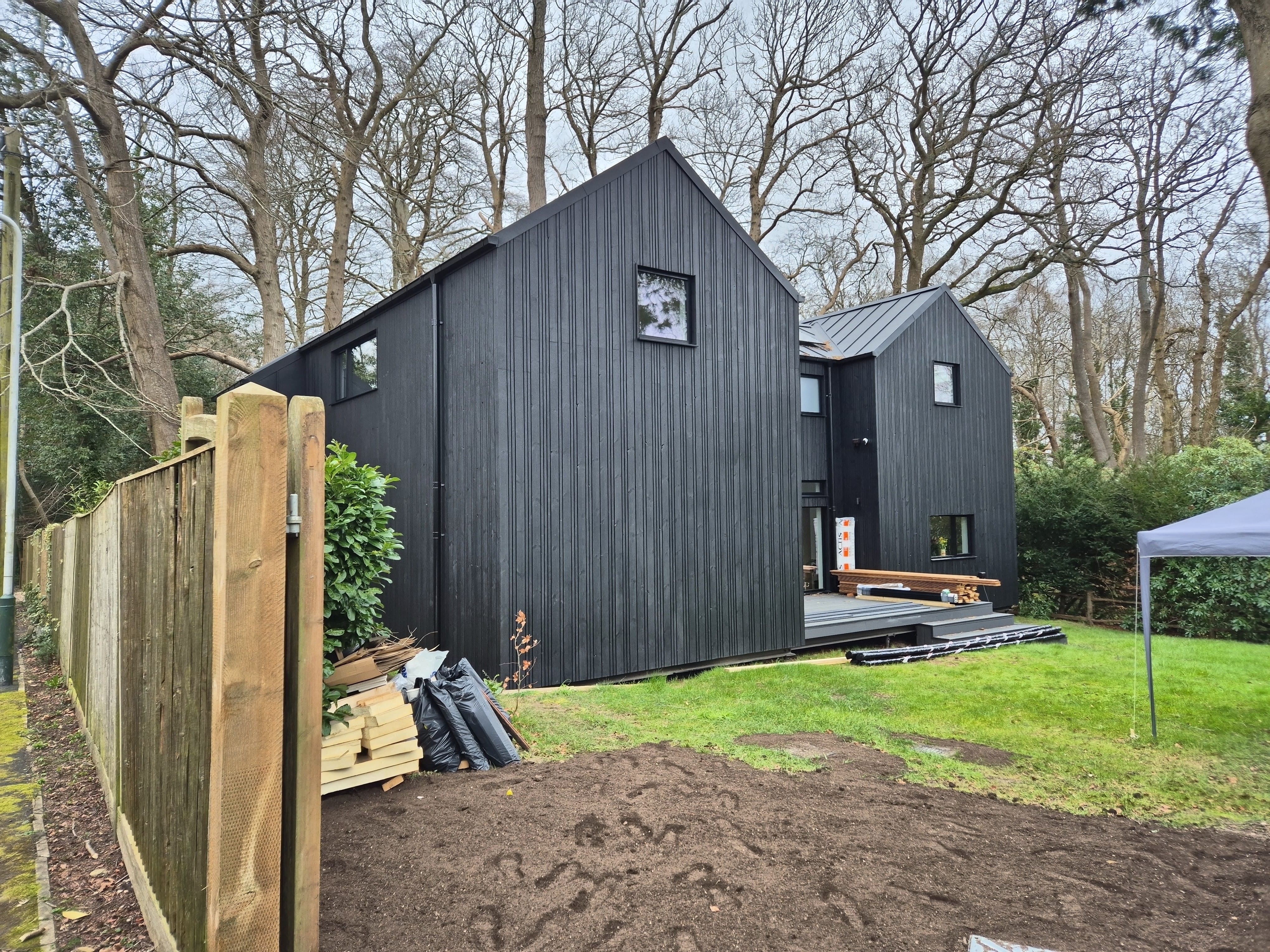
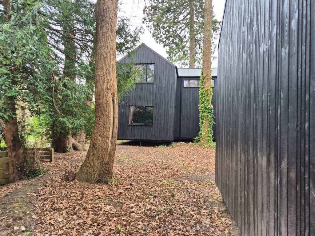
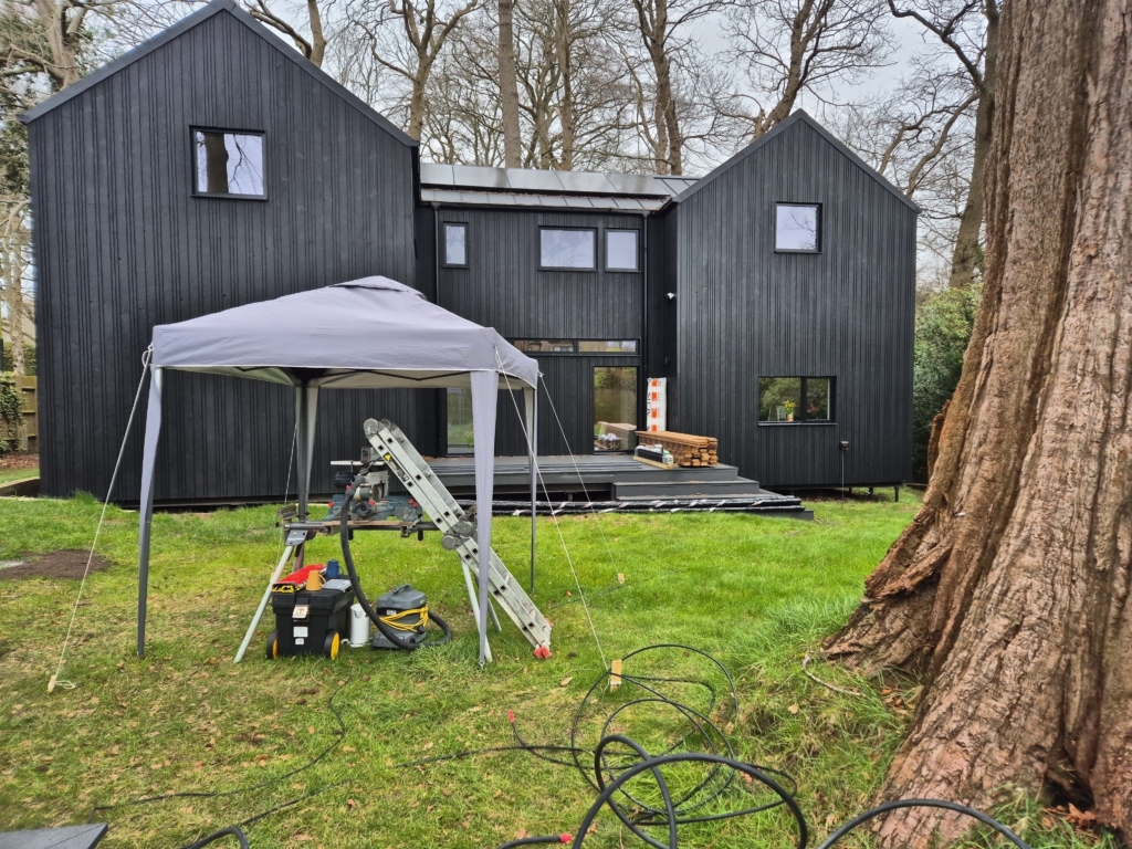
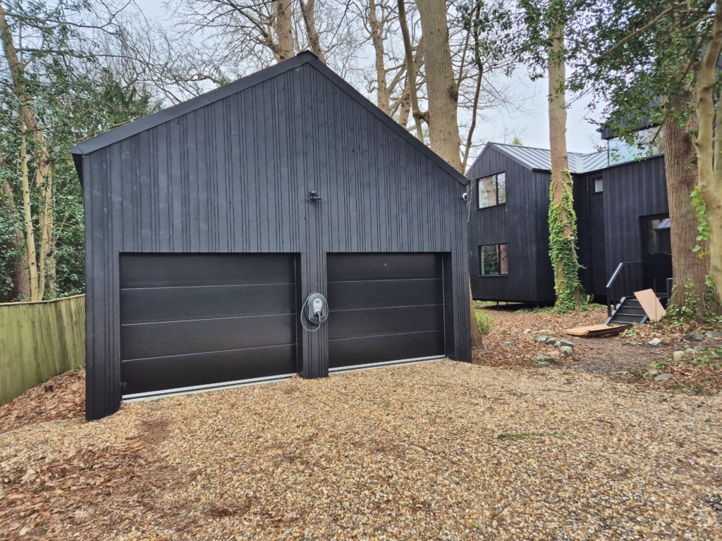
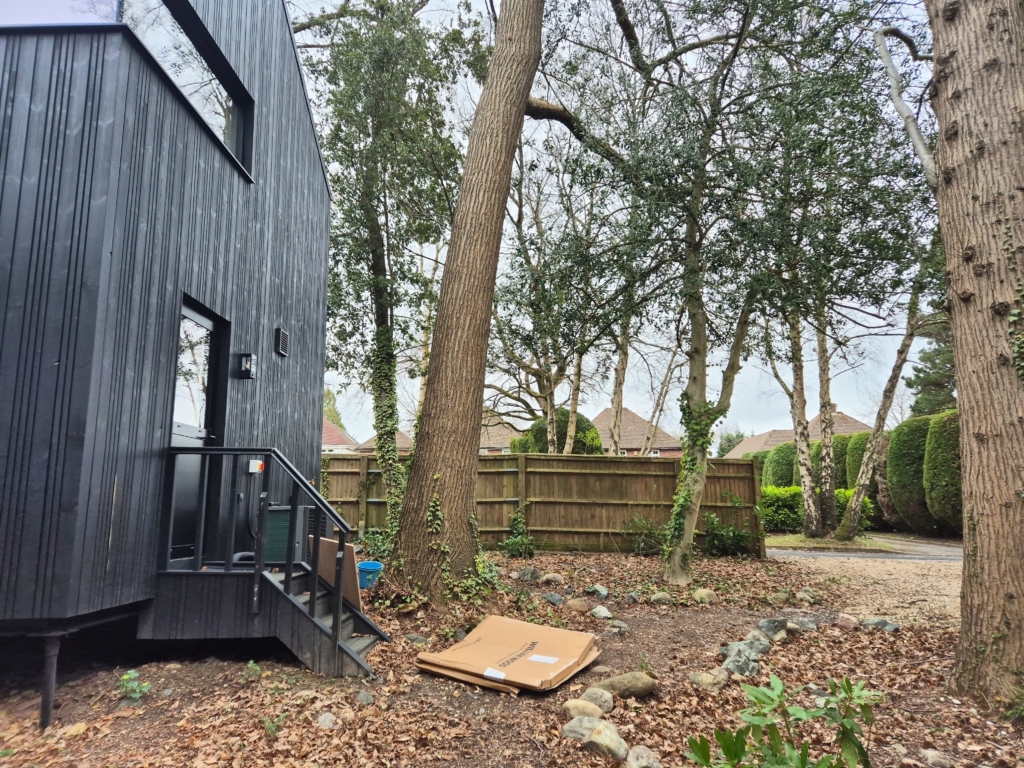
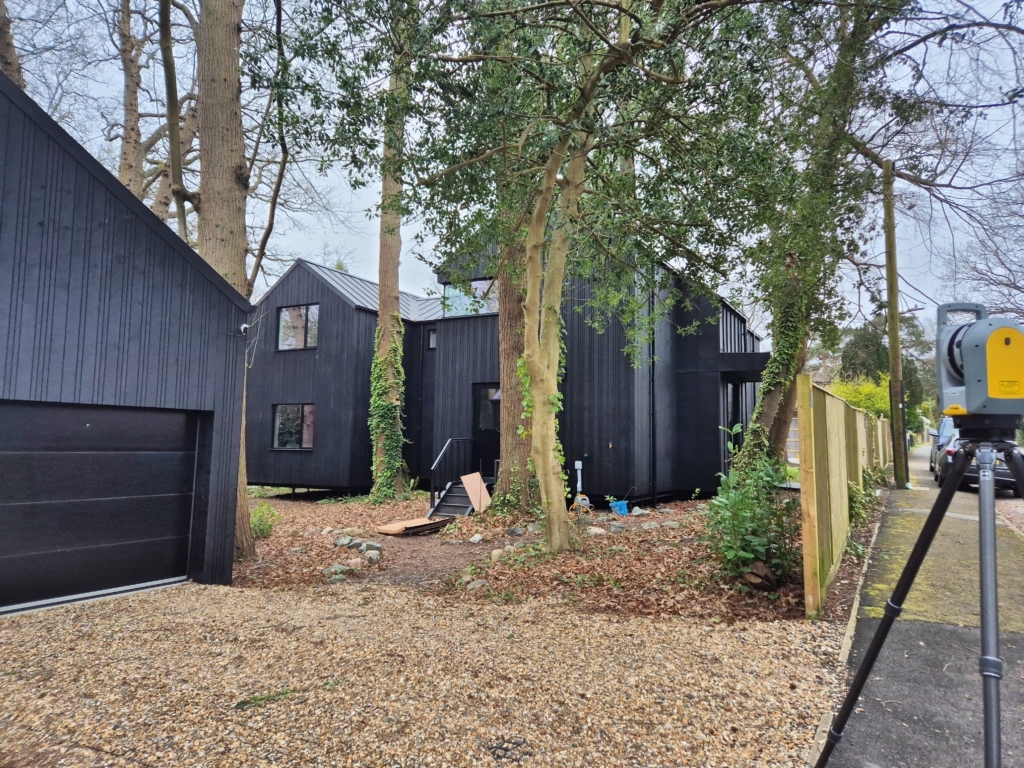
Modern black timber-clad house set within a large wooded plot in Sandown Park, Tunbridge Wells, Kent. The property features two gabled volumes, a detached double garage, and significant level changes across the site.
Brief:
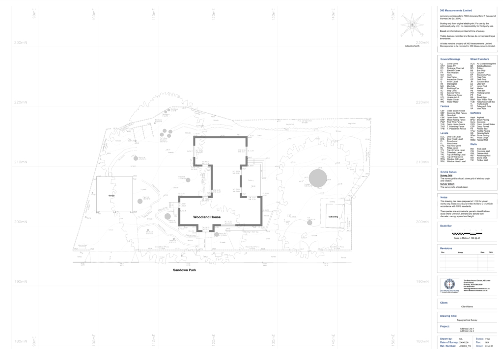
The garden designer required an accurate topographical survey of the existing site to support the landscape and external works design. The survey needed to capture ground levels, site boundaries, trees, drainage features, and the building footprint ahead of the planning and design stages.
Survey Completed
Carried out a comprehensive topographical survey of the site and its immediate surroundings utilizing a Trimble X7 laser scanner. The survey successfully captured detailed architectural and environmental data, including precise site boundaries and perimeter fencing, the building footprint with all ground-floor openings, and detailed external features. Additionally, the final dataset incorporates accurate ground levels and spot heights across the site, fully mapped hard surfaces, drainage covers, inspection chambers, and all existing soft landscaping, including trees and shrubs.
Deliverables:
The client received:
- 1 Topographical Survey at 1:100
- Site pictures
- 360 Panoramic Pictures
Outcome:
The completed survey provided the garden designer with an accurate digital record of the site levels and existing features, enabling the landscape and external works design to progress with confidence using reliable survey data.
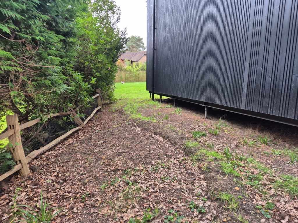
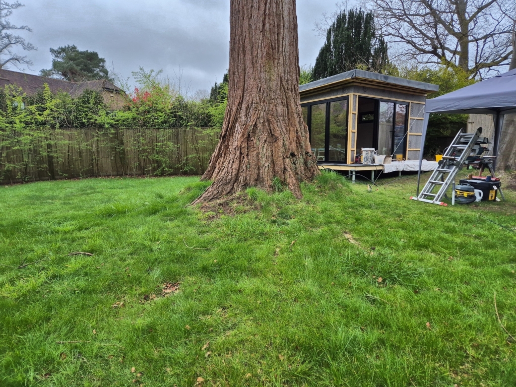
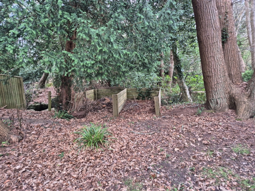
Site Pictures
Drawings
Planning a similar project?
If you need a measured building survey, topographical survey, or both for a residential or commercial property in London, Kent, or the South East, get in touch for a free quote.