
Topographical Surveys
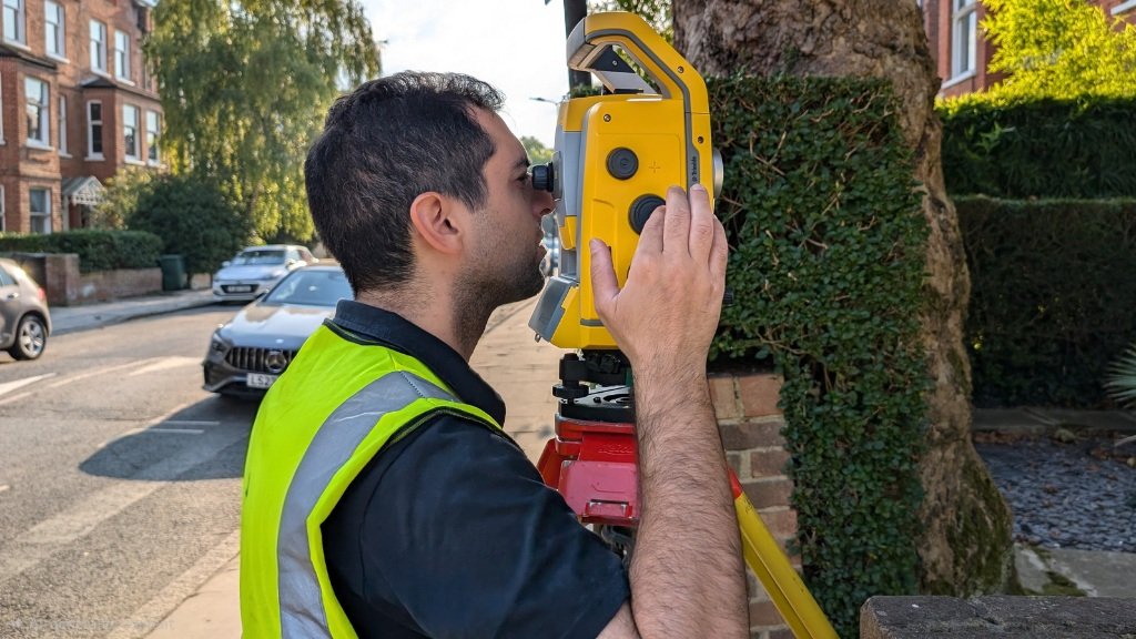
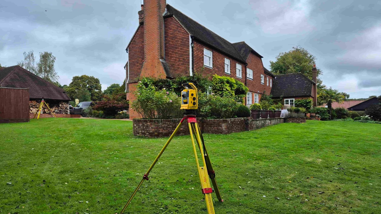
Our topographical surveys provide accurate, detailed information about the physical features of your site, forming a reliable base for planning, design, and construction. Using modern total stations and 3D laser scanning equipment, we capture precise measurements of boundaries, buildings, ground levels, and all external features.
Our surveys are carried out using professional Trimble total stations, GNSS receivers, and laser scanning equipment, achieving accuracy typically within ±5mm to ±15mm depending on project requirements. All surveys follow RICS guidance and industry best practices.
A topographical survey typically includes spot levels, contours, site boundaries, structures, trees, drainage features, utilities, kerbs, and other visible elements. This data is essential for architects, engineers, and developers when preparing planning applications, designing extensions, redevelopments, or managing construction projects.
We deliver clear, fully layered drawings in DWG and PDF formats, compatible with AutoCAD and other industry-standard software. Surveys can also be provided in Revit format on request to support BIM workflows.
Our topographical surveys are suitable for residential, commercial, and large development sites across London, Kent, and the South East. We focus on accuracy, efficiency, and clear communication to ensure you receive reliable survey data tailored to your project requirements.
What you get
- Topographic survey drawing in DWG + PDF
- Spot levels / contours (as required)
- Features captured to the agreed scope
Ideal for
- Planning applications
- Architecture & drainage design
- Boundary + feature verification
- Pre-development surveys
What’s included
- Boundaries, walls, fences, gates
- Buildings, hardstanding, kerbs
- Manholes / drainage covers (recorded as visible)
- Trees / vegetation (as required)
- Spot levels across site and key thresholds
What we need from you for a fast quote
- Site address / postcode
- Site boundary (rough outline is fine)
- Required outputs (spot levels / contours)
- Any deadline and site access notes
FAQ
What is a topographical survey?
A topographical survey is a detailed measurement of the physical features of a site. It records ground levels, buildings, boundaries, trees, drainage, utilities, and other visible features. The survey provides accurate data used by architects, engineers, and planners for design, planning applications, and construction.
Why do I need a topographical survey?
A topographical survey is essential for:
- Planning applications
- Architectural design and site layout
- Property extensions and new builds
- Land development projects
- Drainage and infrastructure design
- Accurate site information before construction
It ensures all design work is based on precise, reliable measurements.
What does a topographical survey include?
A typical topographical survey includes:
- Ground levels and contours
- Building footprints and structures
- Boundary features (fences, walls, hedges)
- Trees, vegetation, and landscape features
- Roads, paths, and hardstanding areas
- Drainage features (manholes, gullies, covers)
- Visible utilities and site features
Additional details can be included depending on project requirements.
How accurate is a topographical survey?
Our surveys use professional Trimble total stations, GNSS equipment, and laser scanning technology, achieving accuracy typically within ±5mm to ±15mm depending on site size and conditions. All surveys are carried out in accordance with RICS guidance and industry best practices.
What format will I receive the survey in?
We provide survey drawings in:
- PDF format (standard for viewing and planning submission)
- DWG format (AutoCAD, for architects and designers)
Other formats can be provided on request.
How long does a topographical survey take?
Most residential surveys are completed on site within 1–4 hours, with drawings delivered within 2–5 working days depending on site size and complexity. Larger or more complex sites may require additional time.
How much does a topographical survey cost?
Costs depend on:
- Site size
- Location
- Complexity
- Level of detail required
We provide clear, fixed quotes with no hidden fees.
What do you need from me to provide a quote?
Usually just:
- Required drawings or purpose (planning, design, etc.)
- Property address or postcode
- Approximate site size (if known)
Do you cover my area?
We are based in Bromley (BR2) and cover London, Kent, Surrey, and the South East.