Measured building survey using Leica total station London commercial property

Services

Our Professional Surveying Services

Measured building survey point cloud generated from laser scanning of residential property in Kent

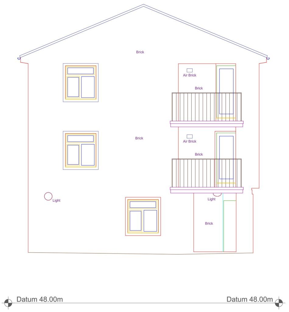
Measured Building Surveys

Floor plans, elevations and sections (as required). DWG/PDF. Revit available on request.

Lease plan showing first floor flat layout and site plan for residential property in London prepared by measured building survey

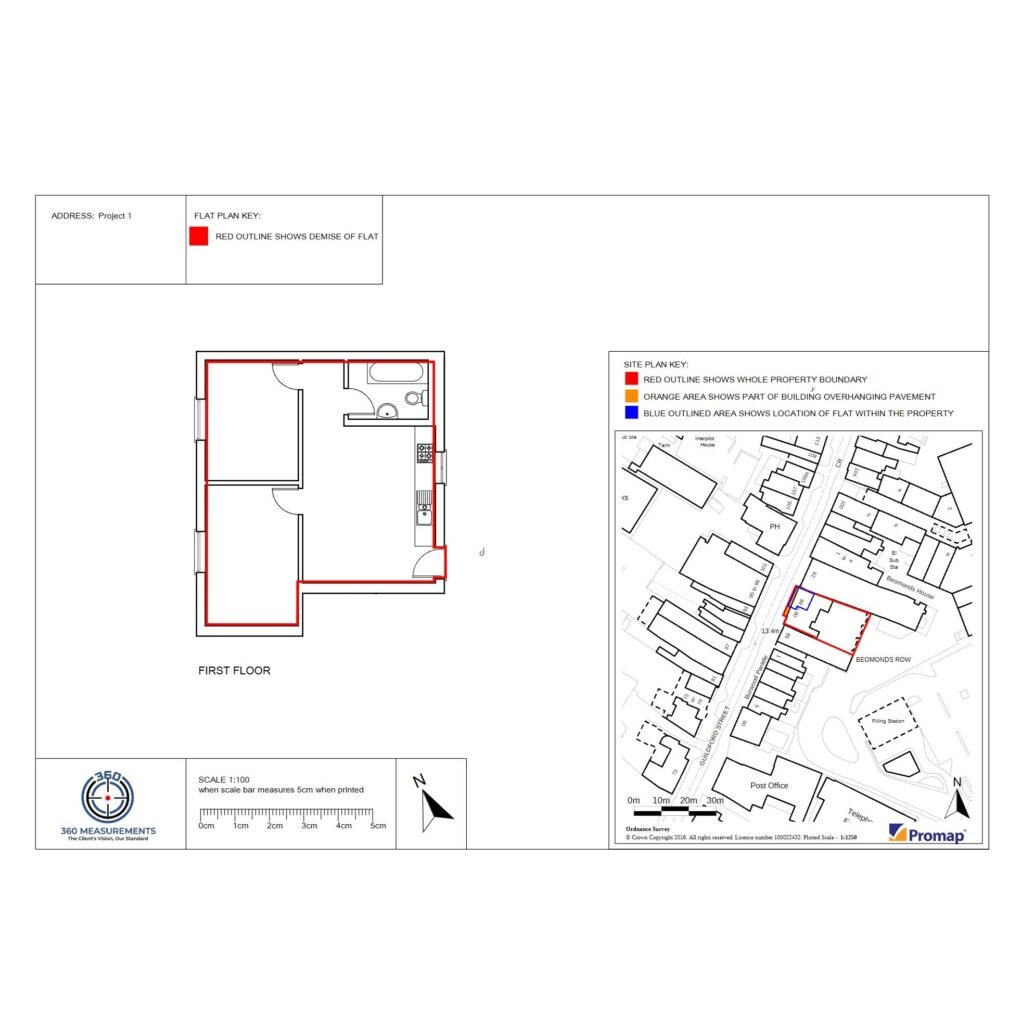
Land Registry Lease Plans

Plans aligned with HM Land Registry requirements. PDF for submission (DWG on request).

Topographical survey of residential property in Kent using Trimble total station surveying equipment

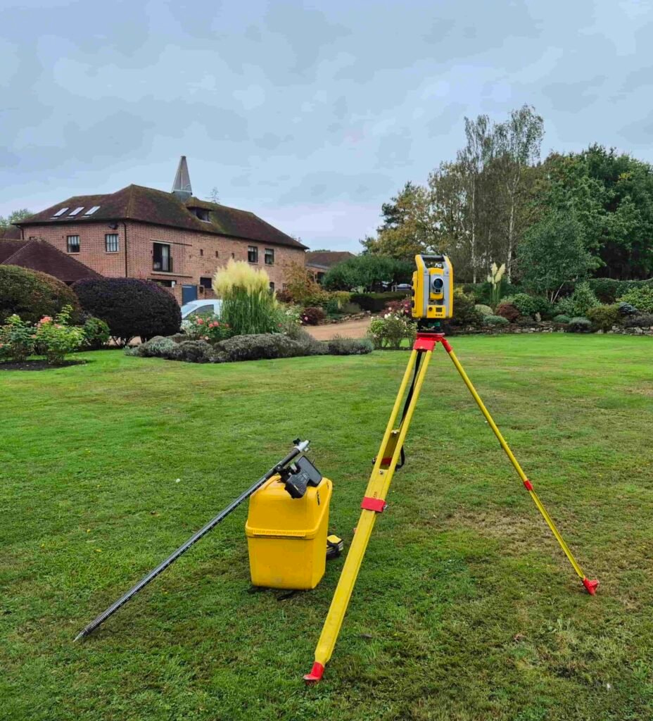
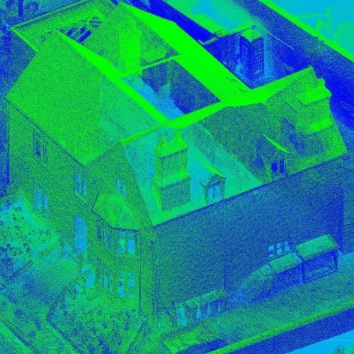
Topographical Surveys

Spot levels, boundaries, buildings and external features for planning and design. DWG/PDF outputs.

CAD elevation drawing produced from measured building survey of residential property in Kent

CAD Drawing Services

Clean, layered CAD drawings from survey data and existing information. DWG/PDF outputs.