
Measured Building & Topographical Survey — Orpington, BR6
| Project | Details |
| Location | Orpington, Kent |
| Property Type | Detached House |
| Services | Measured Building Survey, Topographical Survey |
| Equipment | Trimble X7 |
| Deliverables | DWG & PDF |
| Site Visit | 1 Day |
| Turnaround | 4 Working Days |
Client:
Architect
Property:
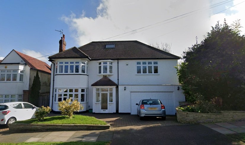
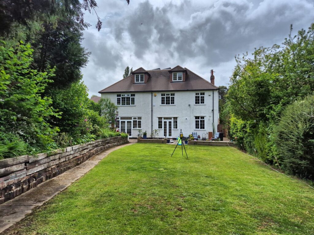
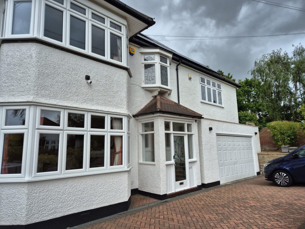
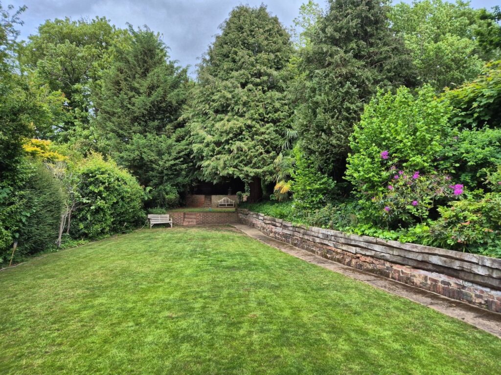
Detached interwar residential house with a large rear garden located in Orpington, in the London Borough of Bromley.
Brief:
The architect required an accurate measured survey of the existing property to support proposals for a rear extension and loft conversion. The survey needed to capture reliable existing dimensions, levels, and site information ahead of the design and planning stages.
Survey Completed
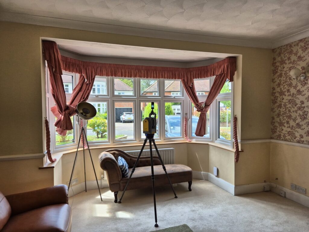
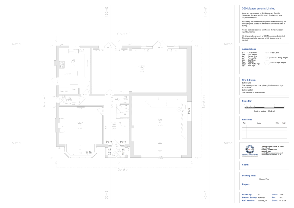
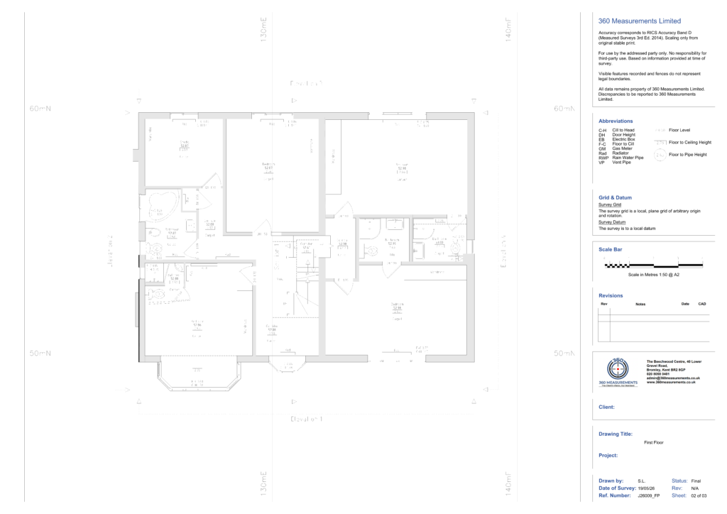
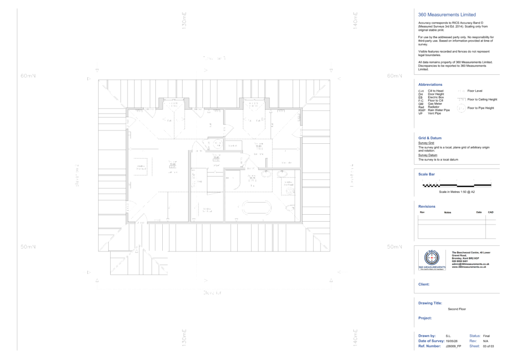
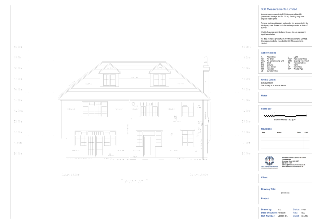
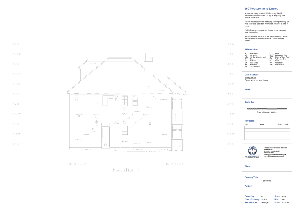
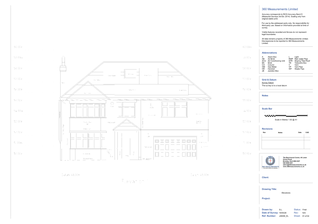
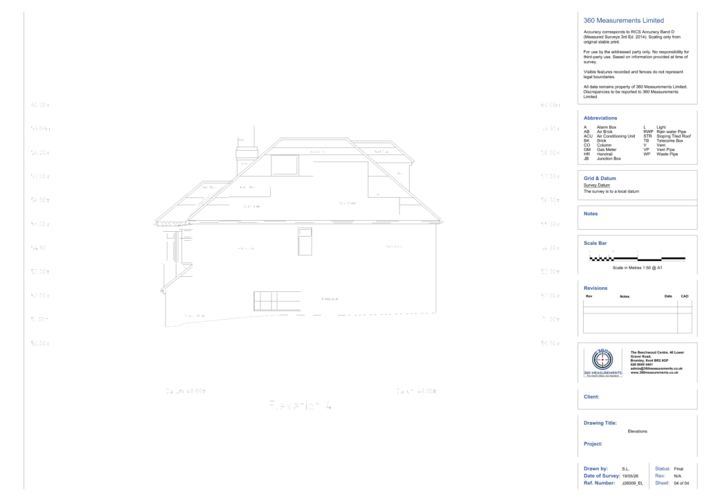
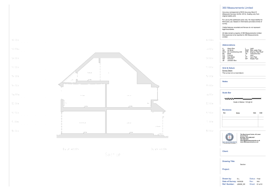
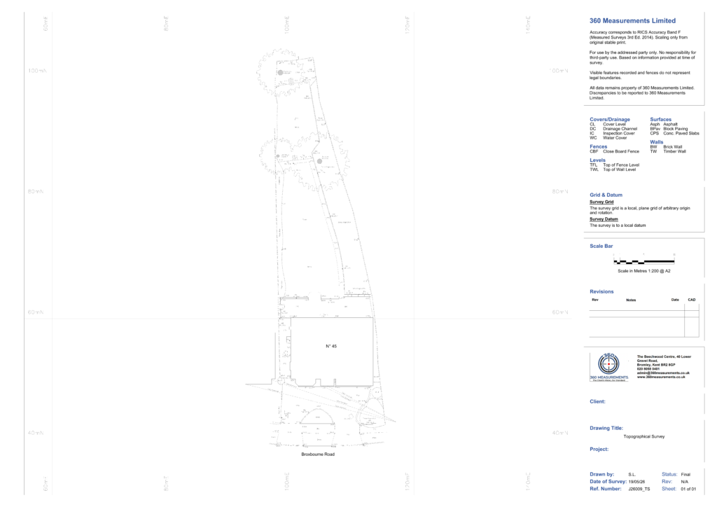
Carried out a comprehensive measured building survey alongside a detailed topographical survey utilizing a Trimble X7 laser scanner. The combined survey successfully captured an accurate digital record of the property and its grounds, including existing floor plans, structural building sections, and four detailed external elevations. Additionally, the final dataset incorporates full topographical data mapping the site’s external features, precise boundaries, and terrain levels.
Deliverables:
The client received:
- 3 Floor plans at 1:50
- 4 Elevations at 1:50
- 1 Section at 1:50
- 1 Topographical Survey at 1:200
- Site pictures
- 360 Panoramic Pictures
Outcome:
The drawings were issued within four working days of the site visit. The completed survey provided an accurate digital record of the existing property and site, giving the design team everything they needed to progress with confidence. All floor plans, elevations, section, and topographical survey were delivered as DWG and PDF.
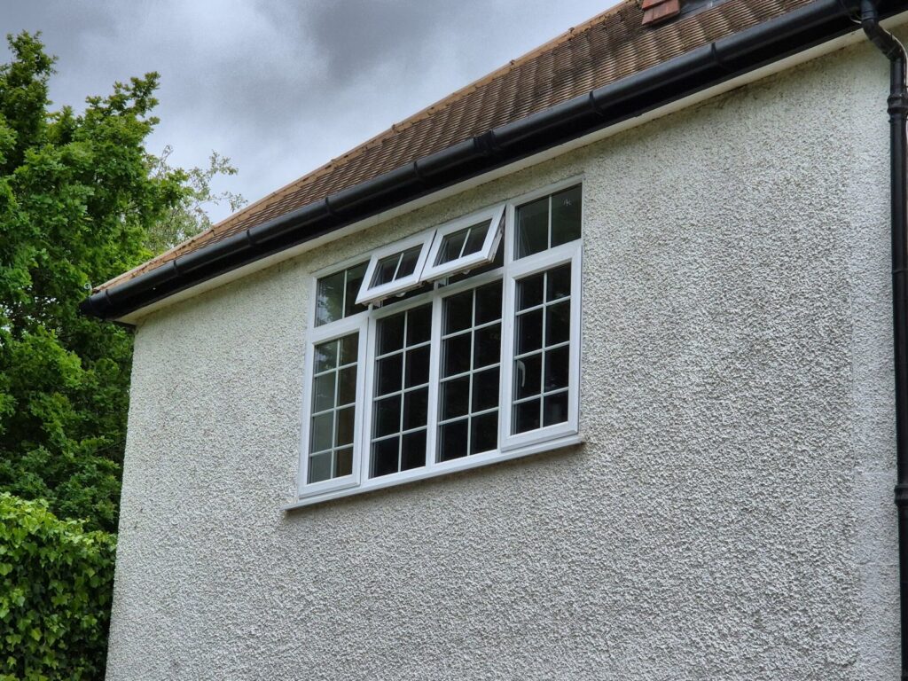
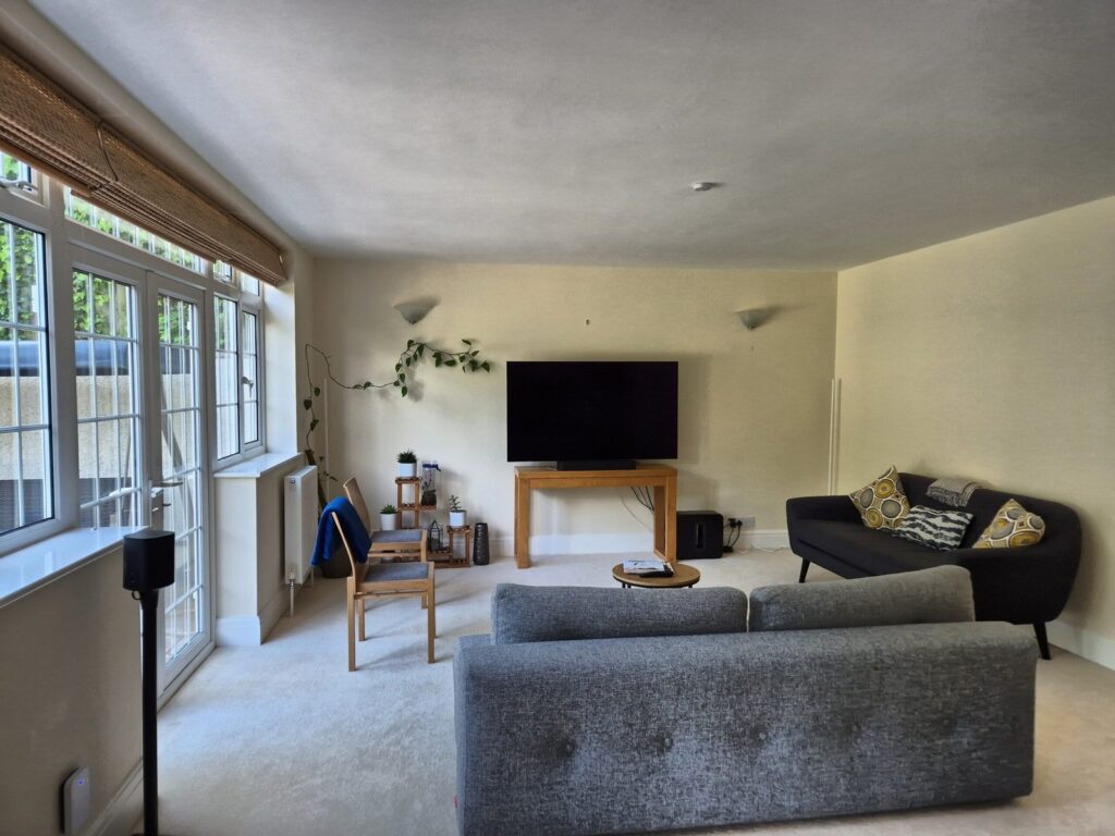
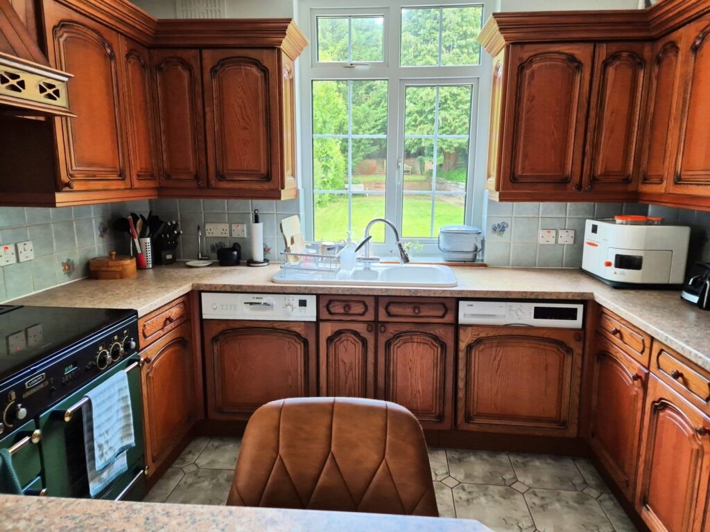
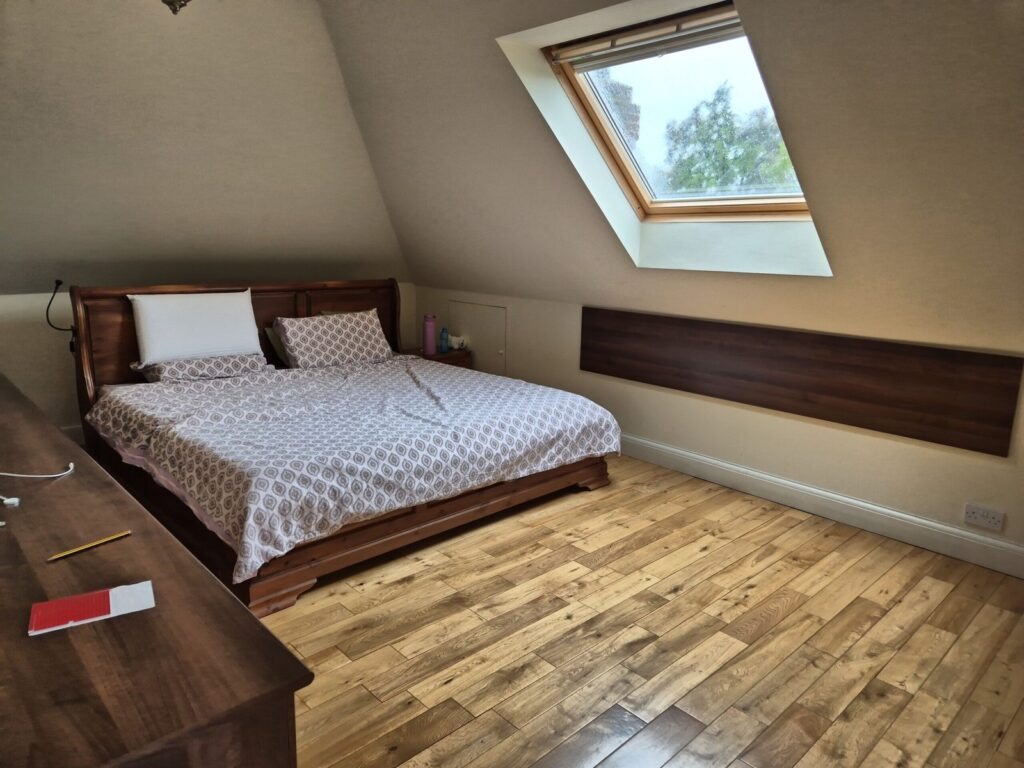
Site Pictures
Drawings
Planning a similar project?
If you need a measured building survey, topographical survey, or both for a residential or commercial property in London, Kent, or the South East, get in touch for a free quote.