
Topographical & Measured Building Surveys in Beckenham and Orpington
360 Measurements provides accurate topographical surveys and measured building surveys across Beckenham, Orpington, and the surrounding areas of SE London and Kent. We deliver precise CAD drawings for planning applications, architectural design, and property development.
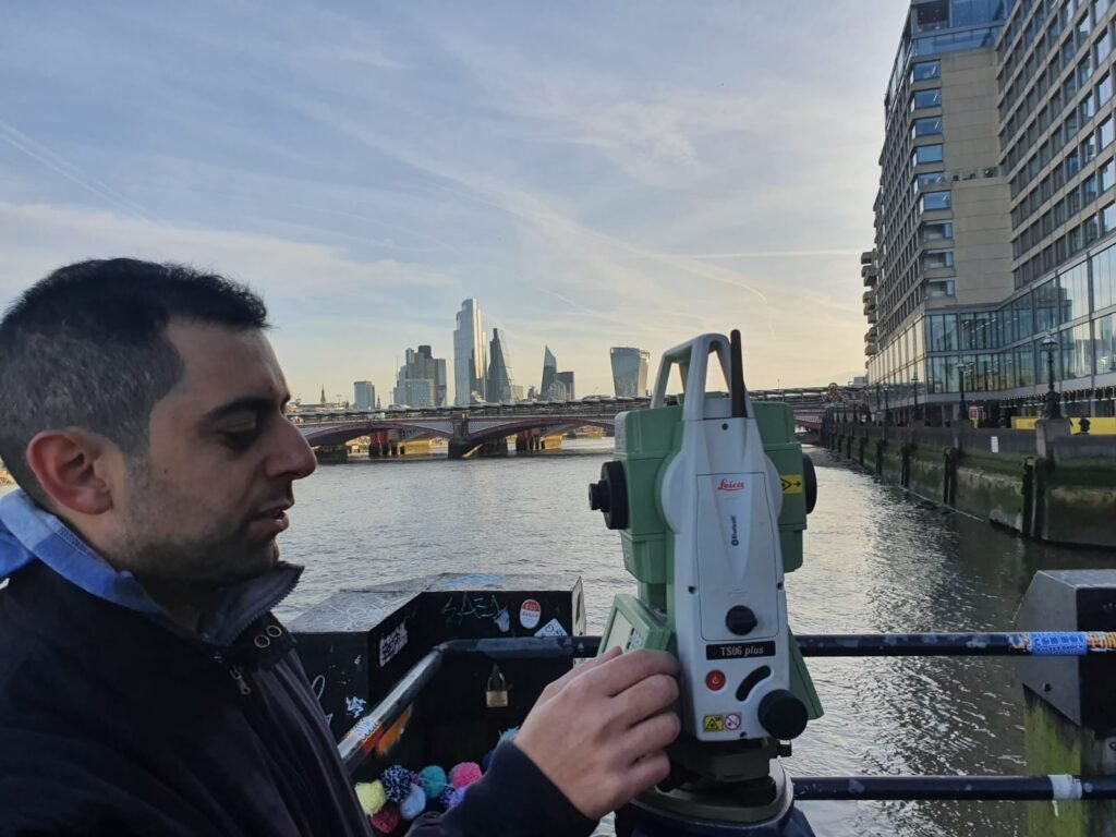
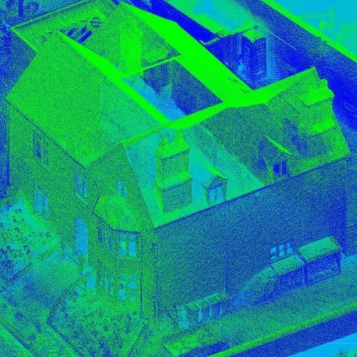
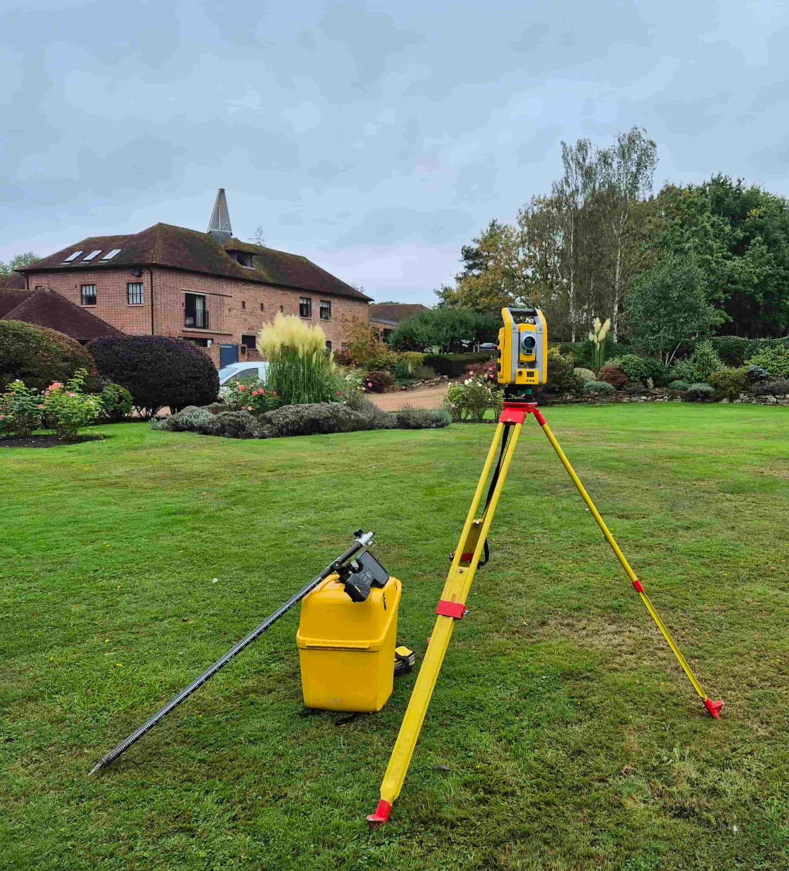
Using a Trimble S5 total station and X9 laser scanner, we produce detailed floor plans, elevations, sections, and site surveys tailored to architects, developers, engineers, and property owners.
Based in nearby Bromley, we cover Beckenham and Orpington with fast turnaround times — drawings typically delivered within 3–5 working days — with direct communication throughout and no subcontracting.
We work with architects, planning consultants, garden designers, and developers across Beckenham, Orpington, Petts Wood, Chislehurst, and the wider SE London and Kent border area, providing survey drawings suitable for planning applications, refurbishment, and construction.
Services
We provide a full range of professional surveying services, including:
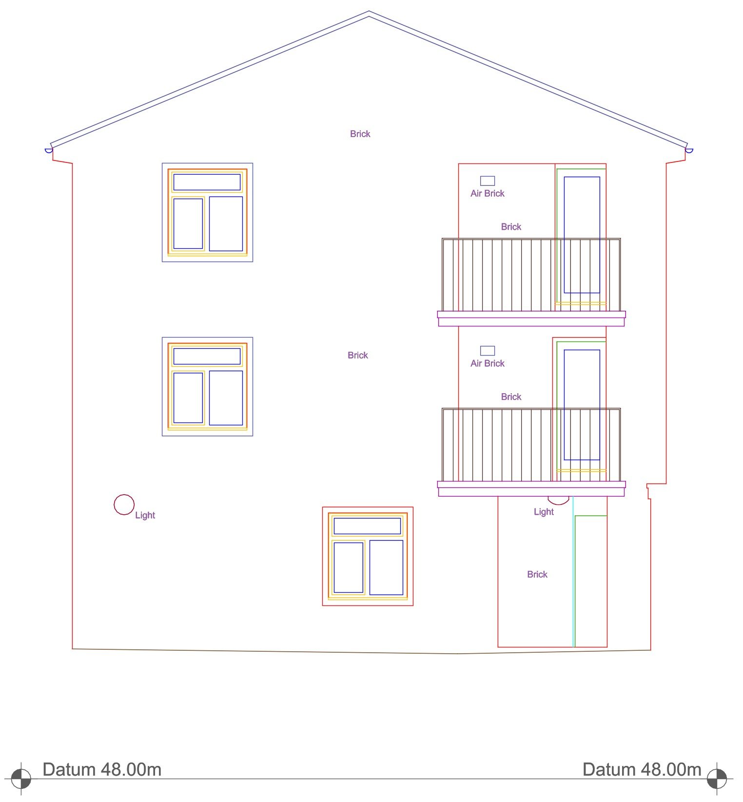
Measured Building Surveys
Accurate floor plans, elevations, and sections for planning, design, refurbishment, and property documentation. Delivered in DWG, PDF, and Revit formats.
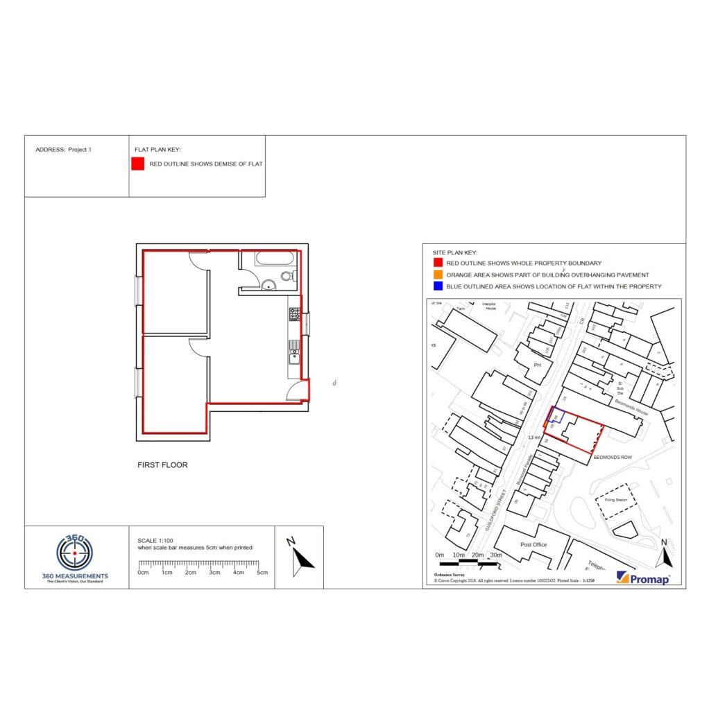
Land Registry Lease Plans
Lease plans prepared in accordance with HM Land Registry requirements, delivered in PDF format for submission, with DWG files available, on request.
Topographical Surveys
Detailed surveys showing levels, boundaries, buildings, and site features to support planning applications, design, and construction.
CAD Drawing Services
Clean, layered CAD drawings produced from survey data and existing information, delivered in DWG and PDF formats.
Why Choose 360 Measurements
Accurate and reliable survey data
Every survey is carried out using a Trimble S5 Total Station, R12i GNSS receiver, and X9 laser scanner — professional-grade equipment that delivers precise, dependable results on every project.
RICS-compliant drawings, ready to use
All survey drawings are produced to RICS Measured Survey standards and delivered in DWG and PDF format, layered and organised for immediate use in your CAD workflow or planning submission.
Drawings delivered in 3–5 working days
We work efficiently without cutting corners. Most projects are turned around within 3–5 working days from site visit to final drawings.
Direct communication throughout
You deal directly with the surveyor from enquiry to delivery — not a call centre or project manager. No handoffs, no miscommunication.
Senior expertise on every project
All surveys and drawings are carried out by a highly experienced surveyor and CAD technician with over a decade in the industry. No handoffs, no shortcuts — just consistent, senior-level work from start to finish.
What Our Clients Say
Area We Cover
Based in Bromley (BR2), 360 Measurements provides topographical surveys and measured building surveys across Beckenham, Orpington, Petts Wood, Chislehurst, West Wickham, Hayes, and surrounding areas. We work with architects, developers, and property professionals on residential and commercial projects of all sizes.
Request a quote
Contact us today to discuss your project. We provide fast, accurate, and professional surveying services tailored to your requirements.